Visualize Coordinates in Historical Context Prompt
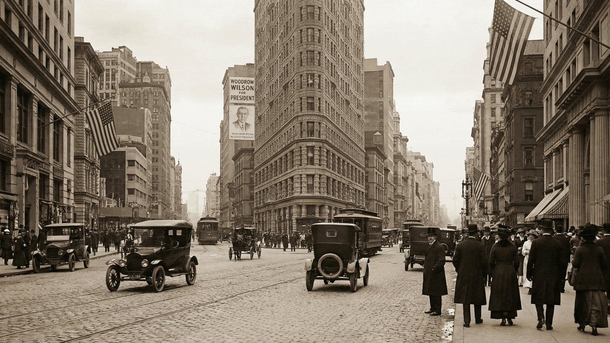
A prompt used to visualize a specific geographical coordinate (40.7422° N, 73.9880° W, which is near the Empire State Building in NYC) as it appeared in a specific historical year (1916). This is a temporal visualization prompt.
The prompt
Visualize 40.7422° N, 73.9880° W in 1916
Recommended setup
The sample below came from the original author's tool. Here is the model we'd point you at on Vorapix.
- Model
- Nano Banana 2
Credit & licence
- Prompt by
- Rajan Patel
- Sample by
- Rajan Patel · rendered with Nano Banana Pro
- Original post
- x.com/rajanpatel/status/2001815354163748917
Filed under
- Poster & Ad Design
- Photorealistic
- Architecture & Interior